Wikiroutes 1.0
a Very long time (in 2009 and 2010) we wrote on Habre about crowdsourcing the project to collect data about public transport.
During this time, the project slowly but surely developed taking into account wishes of our users and our plans. A lot has changed in architecture, in design, made mobile site, earned some money, and most “importantly” we changed the name to WikiRoutes that reflects the idea of the project.
Now we are ready to tell you about new and late users the step — the appearance of our application in AppStore.
Unfortunately, while the app will be available only for iPhone, but in the near future, we can expect the appearance of the application for Android (support only with version 4.0 and above).
As WikiRoutes.info, the app is a directory of urban public transport “around the world”, but at the moment most of the information we have on the cities of Russia and in the CIS countries (something around 30 000 routes in 600 cities, and in 2009 he was trails only Moscow and St. Petersburg), however, with users adding routes (over 5000 active editors and moderators), the geography of the project is continuously expanding.
Start screen apps will not show because there is nothing interesting, but the post would be small and we decided to talk a little bit about the features of the application.
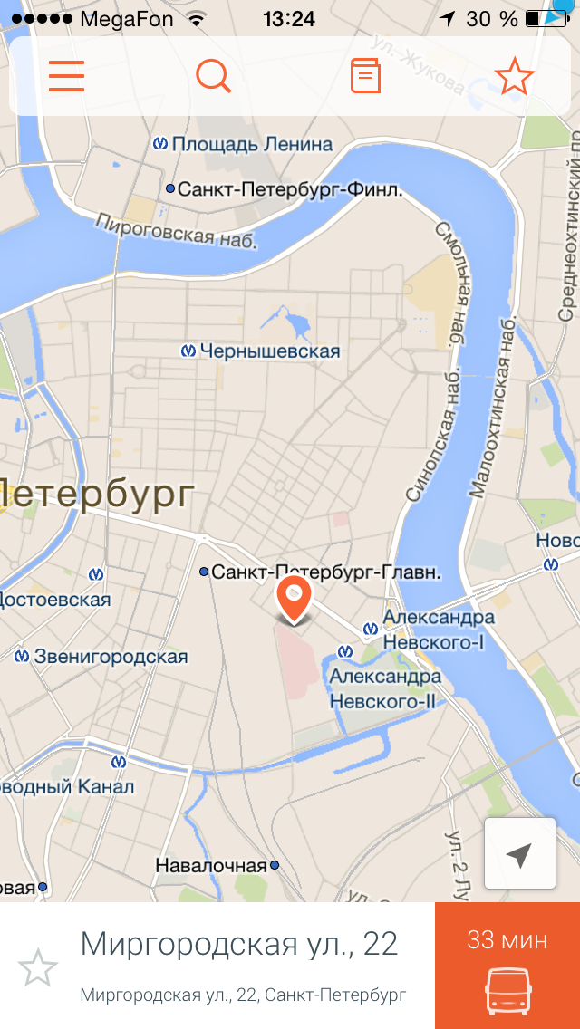
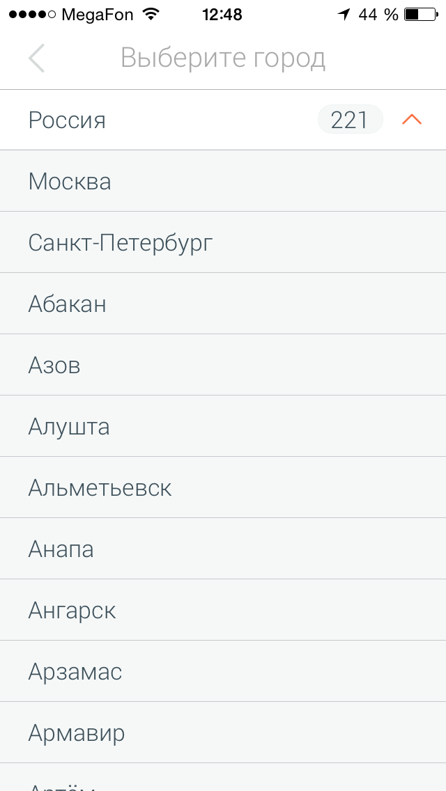
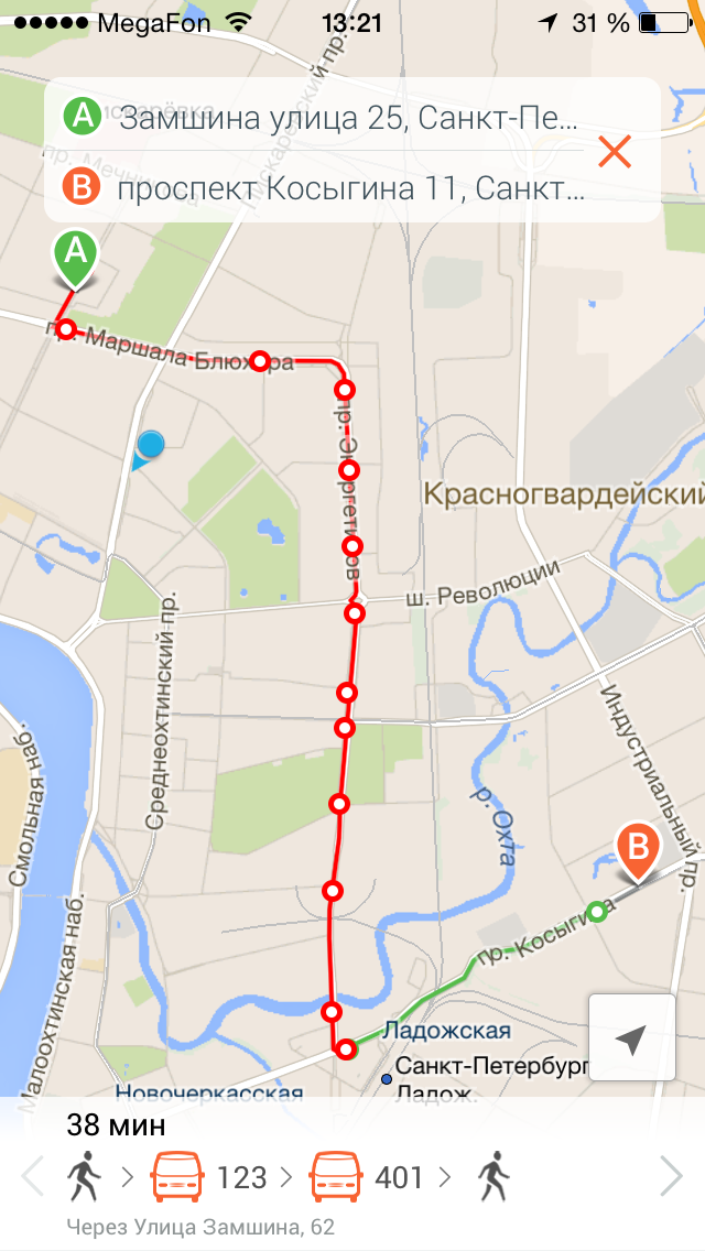
In General, the application repeats partially the features of the site, with the exception of the ability to add a new route. Now there is a standard opportunity to find routes from point “A” to point “B” by entering the addresses, but also as a number of other applications to select points on the map or select from a previously saved point, and specify in the setting of the route mode of transport (if you don't like metro, then it can be deleted).

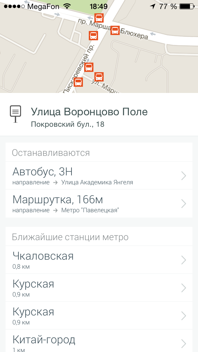
In addition to the ability to seek a route you can use the directory, which will not only let you know what routes there are and also check with all available information: the company carrier, scheduled or interval movement, comments of other users that use it, as well as a visual display on the map.
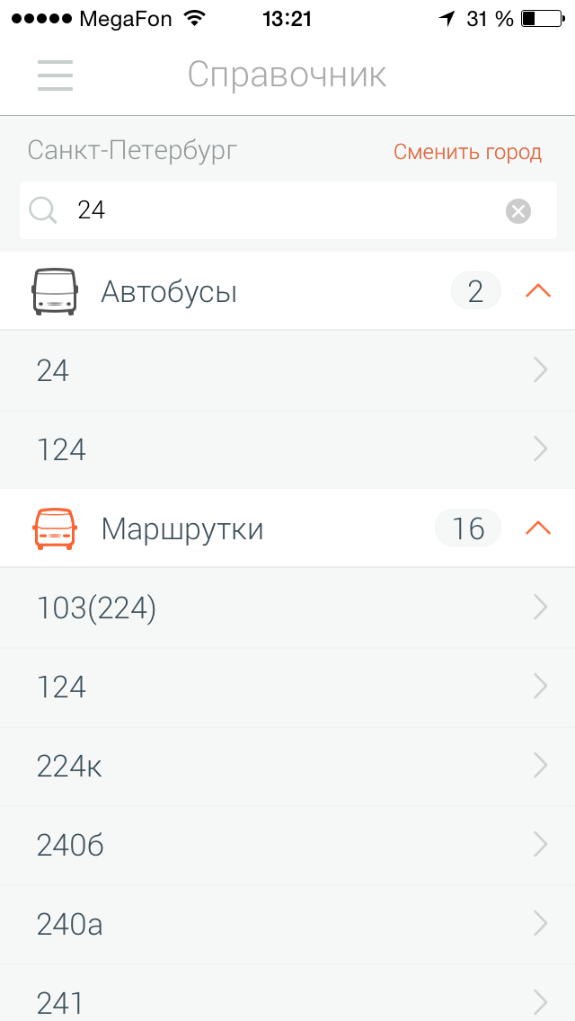

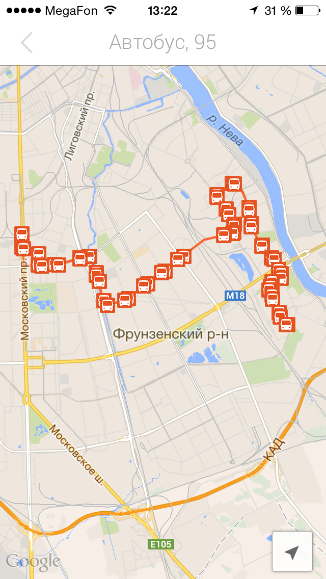
All the information about the route verified by us and other users, but we are not limited to data received from them and add information that we receive from carriers. As a result, the information on the website is sometimes more current and complete than the information on the official websites of the shipping companies.
Now we have started to work on the mapping of transport in real time but this information is only available for St. Petersburg and just as the arrival time of transport to the bus stop, but our plans also make the display positions of the vehicles on the map (to appear in about a few weeks).
In other cities of Russia such information also will appear, but the timing of its appearance is difficult to articulate, so as to agree with all the “little” project is quite difficult and any assistance we will be not superfluous.
If You have any data on the carriers or other organizations that provide information about the location of transport in real time, we would be grateful for such information, which would improve the project. Please write the comments or by email at this address info@wikiroutes.info.
Will put the app, or view a short video, write suggestions, and simply “criticism” to us it will be useful :)
PS: While we were writing this post our app installed already 500 users.
PPS: your comment will be in process of forces and possibilities. Thank you.
Article based on information from habrahabr.ru
During this time, the project slowly but surely developed taking into account wishes of our users and our plans. A lot has changed in architecture, in design, made mobile site, earned some money, and most “importantly” we changed the name to WikiRoutes that reflects the idea of the project.
Now we are ready to tell you about new and late users the step — the appearance of our application in AppStore.
Unfortunately, while the app will be available only for iPhone, but in the near future, we can expect the appearance of the application for Android (support only with version 4.0 and above).
As WikiRoutes.info, the app is a directory of urban public transport “around the world”, but at the moment most of the information we have on the cities of Russia and in the CIS countries (something around 30 000 routes in 600 cities, and in 2009 he was trails only Moscow and St. Petersburg), however, with users adding routes (over 5000 active editors and moderators), the geography of the project is continuously expanding.
Start screen apps will not show because there is nothing interesting, but the post would be small and we decided to talk a little bit about the features of the application.


In General, the application repeats partially the features of the site, with the exception of the ability to add a new route. Now there is a standard opportunity to find routes from point “A” to point “B” by entering the addresses, but also as a number of other applications to select points on the map or select from a previously saved point, and specify in the setting of the route mode of transport (if you don't like metro, then it can be deleted).


In addition to the ability to seek a route you can use the directory, which will not only let you know what routes there are and also check with all available information: the company carrier, scheduled or interval movement, comments of other users that use it, as well as a visual display on the map.


All the information about the route verified by us and other users, but we are not limited to data received from them and add information that we receive from carriers. As a result, the information on the website is sometimes more current and complete than the information on the official websites of the shipping companies.
Now we have started to work on the mapping of transport in real time but this information is only available for St. Petersburg and just as the arrival time of transport to the bus stop, but our plans also make the display positions of the vehicles on the map (to appear in about a few weeks).
In other cities of Russia such information also will appear, but the timing of its appearance is difficult to articulate, so as to agree with all the “little” project is quite difficult and any assistance we will be not superfluous.
If You have any data on the carriers or other organizations that provide information about the location of transport in real time, we would be grateful for such information, which would improve the project. Please write the comments or by email at this address info@wikiroutes.info.
Will put the app, or view a short video, write suggestions, and simply “criticism” to us it will be useful :)
PS: While we were writing this post our app installed already 500 users.
PPS: your comment will be in process of forces and possibilities. Thank you.
Комментарии
Отправить комментарий